


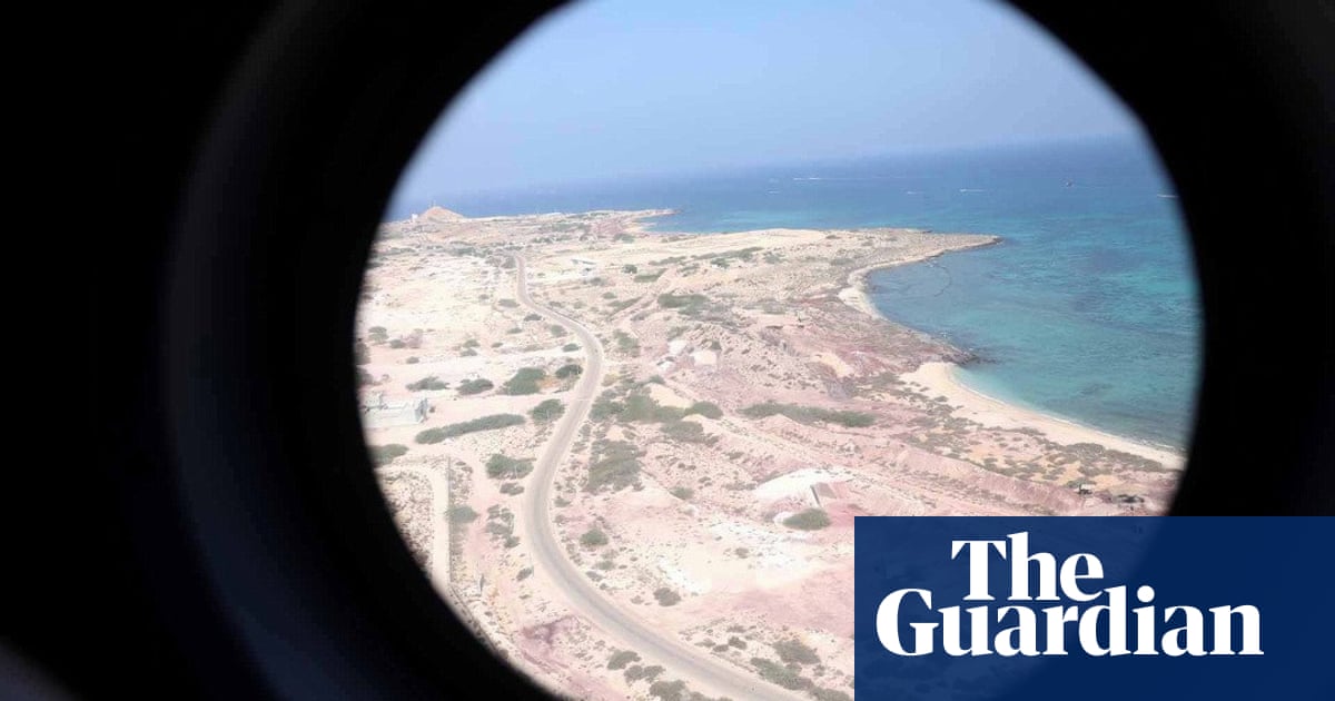
Iran is using 1888 British maps to assert ownership of disputed islands near the Strait of Hormuz, contested by the UAE. The issue poses a challenge to Iran's relations with the Gulf and EU, with historical and geopolitical implications.
Read MoreDid you find this insightful?
Bad
Just Okay
Amazing